Directions
Koija Airstrip Coordinates
0°32’43.0″N 36°51’47.0″E
0.545278, 36.863056
Click here for Koija Star Beds Airstrip chart.
0 KM Turn left (When coming from Nairobi) or turn right (When coming from Isiolo/Meru side) at Total petrol station, off the main road from Nairobi onto the Doldol road
8.8 KM Turn right at Maiyan signpost
15.5 KM Ignore tarmarc on the right, carry on straight
22.0 KM Carry on straight past doldol post to the right, take the left
31.8 KM Straight on past EL K sign on the left
40.2 KM Cross bridge at Mpala
40.4 KM T-junction – turn left
41.0 KM Turn right at fork – Mpala on the left
47.9 KM Drive past radio mast station on the right
48.0 KM Stay left on the v- fork
52.4 KM Drive past the” wildlife go slow” sign
56.6 KM Drive past the Asante sign
59.2 KM Old white sign with black and yellow stripped polls on the right. Turn right immediately after the sign.
60.7 KM Stay on right fork, go under the electricity pylons, and follow the pylons which are on your left
65.8 KM Back under the pylons – you can now see a white shack on the right
66.8 KM Cross the bridge at Il motiok centre
67.7 KM Turn left onto a small dirt track
69.3 KM Riverbed
72.7 KM Left fork
73.0 KM Left onto a main dirt road
73.9 KM Riverbed
75.0 KM Water tank and a brick building (School like) on the left
78.4 KM Turn left
78.8 KM Turn left
79.0 KM Long sandy riverbed
83.2 KM Bear right
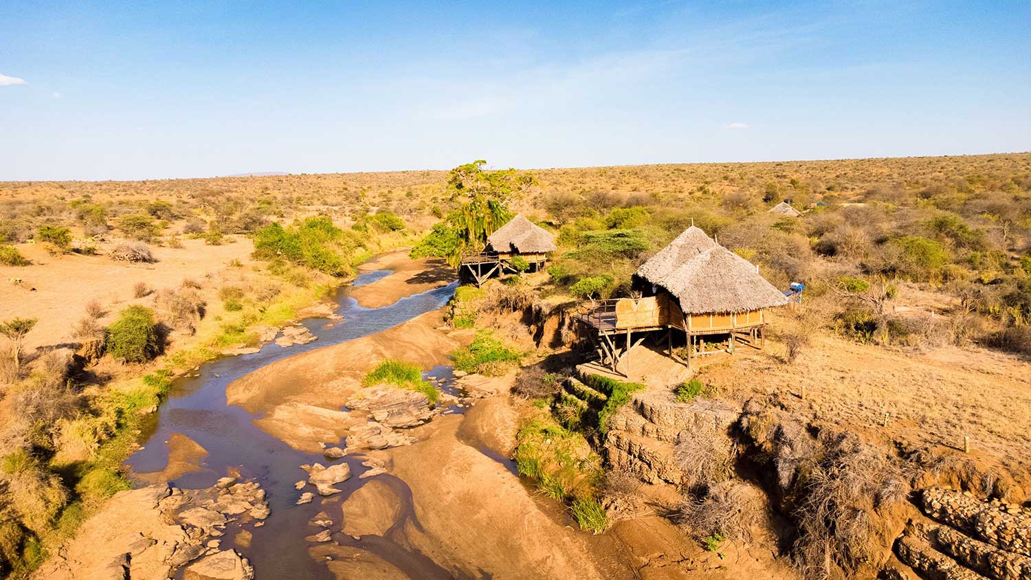
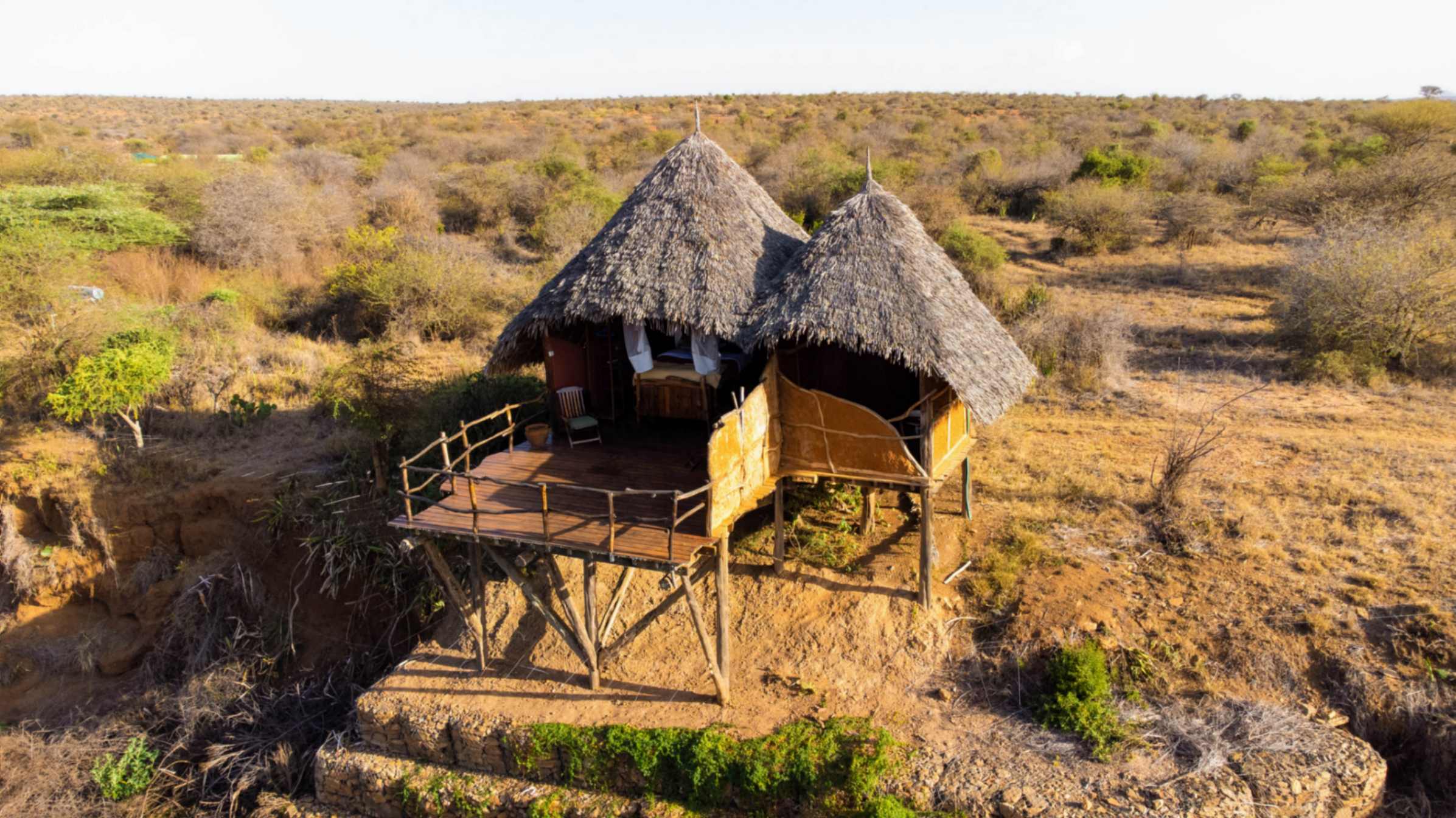
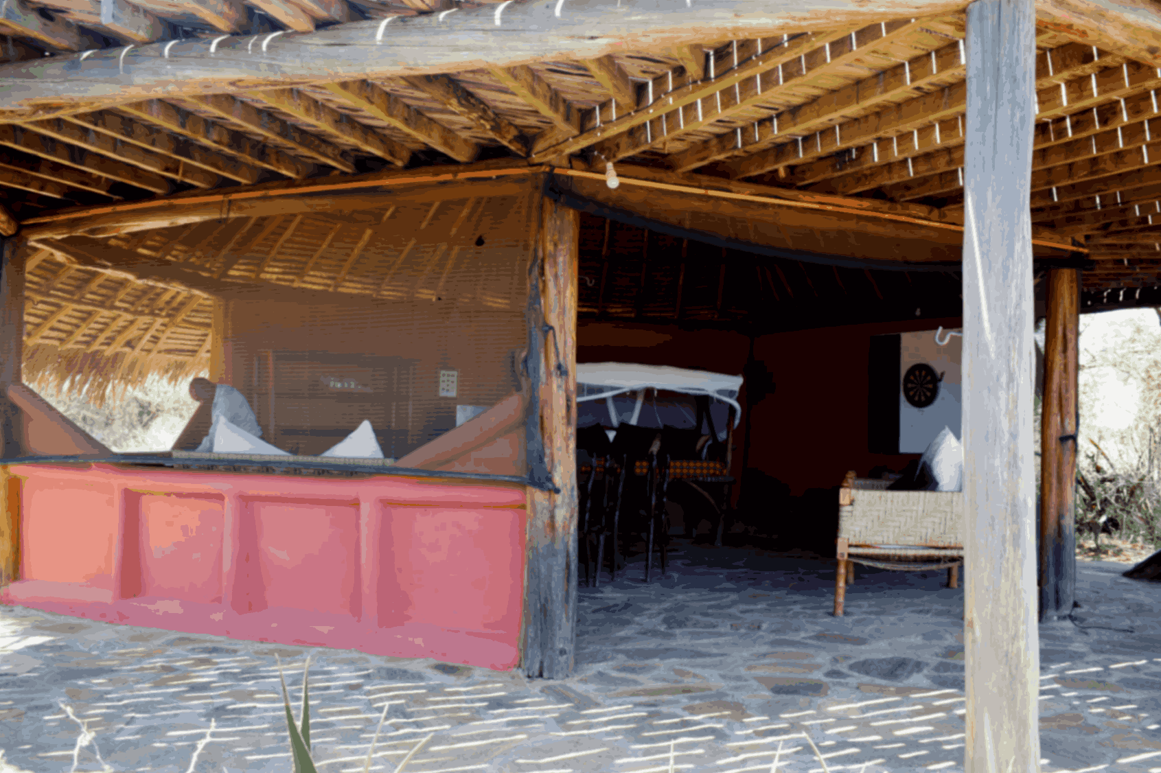
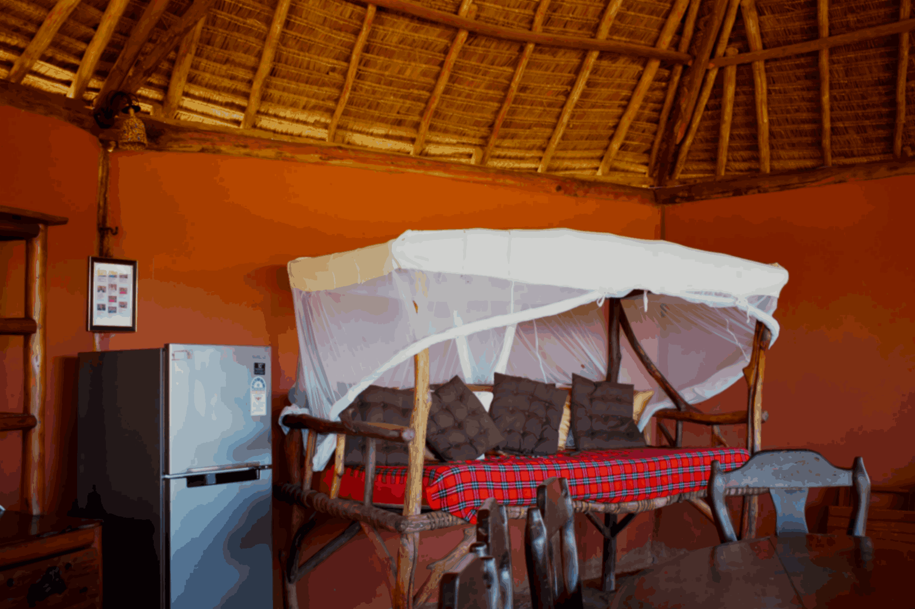
83.5 KM Koija Star Beds
